Rolta OnPoint™ – Next Generation Spatial Intelligence for your Business Data
With over 200 deployments worldwide, ROLTA OnPoint™ is a feature rich web-GIS platform that easily integrates with business applications, and serves as the cornerstone of many operational and analytical functions
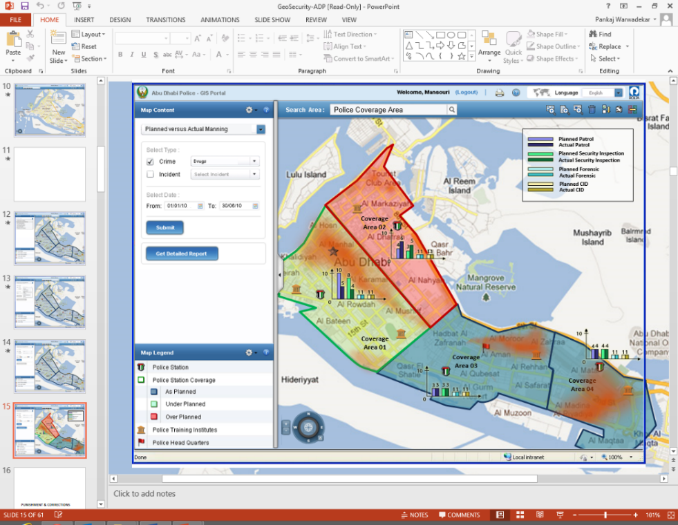
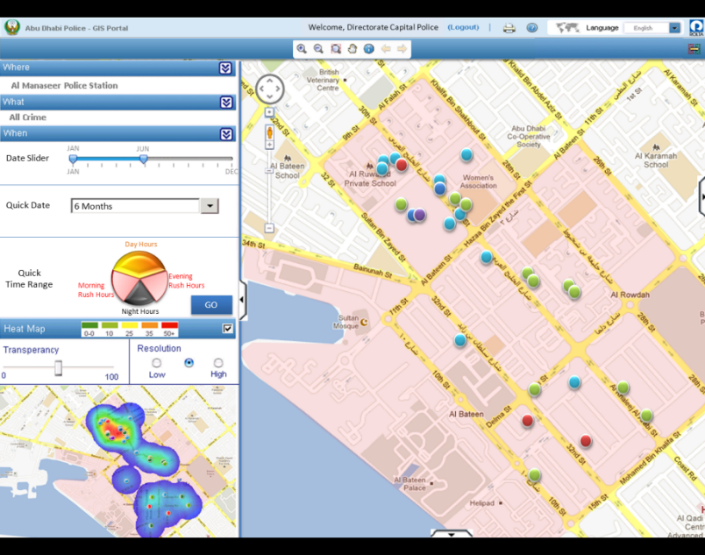
ROLTA OnPoint™ is spatial platform that can be used across diverse industrial operations as Enterprise GIS solution, and as embeddable maps integrated with operational and decision support systems. Along with providing next generation spatial features with 2D and 3D data, it also provides specialized extensions which are configurable.
ROLTA OnPoint™ has been implemented as Geospatial platform by many leading city governments, public works, utilities and transportation organizations. The solution ranges from geo-assets, geo-environment, and spatial analytics for planning, design and operations.
Key highlights of ROLTA OnPoint™
Support to Map Providers
- ROLTA MapServer™ (in-built)
- Esri ArcGIS
- AutoCAD
- Any OGC compliant Map Engine
Rich User Experience
- Responsive design
- Compliance to accessibility standards
- REST-based services with OpenLayer and AngularJS
Leading Database Support
- Oracle Spatial
- PostGIS
- SQL Server
- Any ODBC Connection
Advanced Map Features
- Measure and Mark up
- Layer swipe, blend, flicker
- Power Search
- Search and Queries
- Clustering
Powerful Spatial Analytics
- Time variant analysis
- Buffer , Proximity Analysis
- Statistical tool
- Advanced Clustering
- Charts
- Routing
- Image processing
Specialized Extensions
- GPS-based vehicle tracking
- Soil analytics
- SCADA integration
- 3D visualization and analytics
- Flood simulation
Value add to your business
- With capability to support many OGC compliant map engines, ROLTA OnPoint™ is a cost-effective web-GIS platform that aligns with multiple map providers /engines in a distributed environment
- Rapid deployment and configurable features reduces IT project cost


